IFSEC Insider is operated by a business or businesses owned by Informa PLC and all copyright resides with them. Informa PLC's registered office is 5 Howick Place, London SW1P 1WG. Registered in England and Wales. Number 8860726.
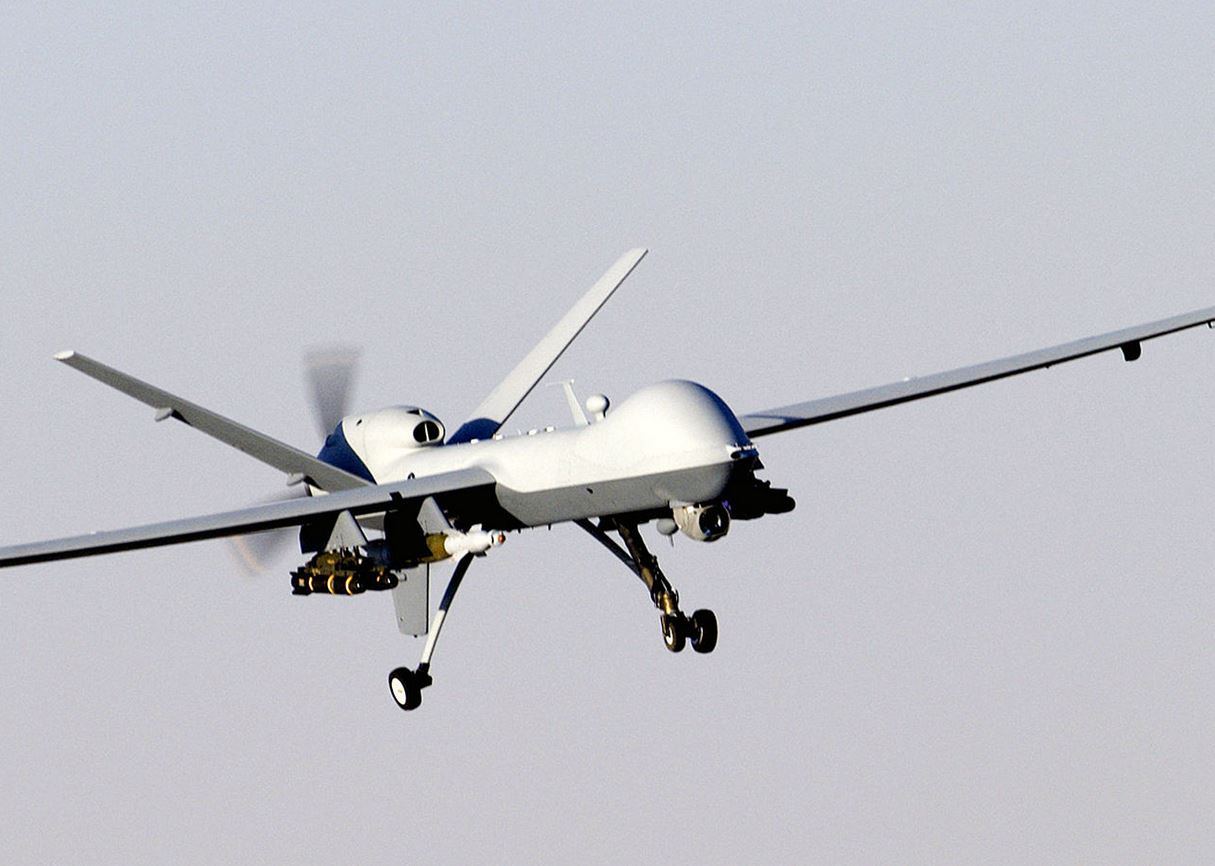
If you are a Sohna resident, don’t be surprised if you start witnessing an unmanned ariel vehicle (UAV) hovering above your head.
The Gurgaon administration along with scientists at the Haryana Space Applications Centre, Hisar are soon going to launch project Udaan. As part of the project UAV’s will be used to monitor encroachment activities, protect water bodies and keep a record of the area’s green cover by counting the number of trees present. All areas falling under the jurisdiction of under Sohna municipal committee are going to part of the surveillance initiative.
“Sohna is a small town witnessing a lot of development. New residential townships are coming up on one side, and there’s forest area on the other. So we wanted to launch it here. If successful, we’ll introduce it elsewhere, specially in NCR, where encroachment is rampant,” said R S Huda, chief engineer, HSAC. Huda also claimed that the project is the first of its kind in India.
Drone mapping is better than satellites because drones provide clearer images, Huda argues. The drone’s images are higher in resolution and clear enough to be able to count the trees, monitor every house and bodies of water.
“Satellite mapping has resolution of only ½-1m. Mapping by drones provides clearer images. One can count the number of trees in a green belt or see the width of water body,” said Huda.
The total amount of project funding allocated to the project is Rs 1.14 crore. The drones to be used in the project are sourced by the Centre from Pune based Science and Technology Park.
“Gurgaon residents are facing drainage problems from a block in the Badshapur drain. With the help of drones, we can map the encroachment and the authority can act,” said a scientist.
“Part of the CM’s vision, it will make Gurgaon’s transition to a smart city a reality. It will be helpful in fields as varied as collecting property tax to electoral data.
“Data can be provided to departments like police, renewable energy, forest, as well as pollution boards and municipal corporations,” said T L Satyaprakash, the deputy commissioner. “We also plan to make the data public.”
He also shared the fact that a team has been sent to London to study the safety issues surrounding the flying of drones over densely populated urban areas.
Free Download: The Video Surveillance Report 2023
Discover the latest developments in the rapidly-evolving video surveillance sector by downloading the 2023 Video Surveillance Report. Over 500 responses to our survey, which come from integrators to consultants and heads of security, inform our analysis of the latest trends including AI, the state of the video surveillance market, uptake of the cloud, and the wider economic and geopolitical events impacting the sector!
Download for FREE to discover top industry insight around the latest innovations in video surveillance systems.
Gurgaon Authorities Enlist Drones to Monitor Urban EnvironmentIf you are a Sohna resident, don’t be surprised if you start witnessing an unmanned ariel vehicle (UAV) hovering above your head.
Bhavesh Kumar
IFSEC Insider | Security and Fire News and Resources
Related Topics
Surveillance Camera Commissioner launches survey on UK police camera use
Two police forces achieve third party certification for drone use by Surveillance Camera Commissioner
IFSEC Global’s most read in security: 2021 edition