IFSEC Insider is operated by a business or businesses owned by Informa PLC and all copyright resides with them. Informa PLC's registered office is 5 Howick Place, London SW1P 1WG. Registered in England and Wales. Number 8860726.
Governmental agencies, first responders, and NGOs are all placing more emphasis on safeguarding staff and assets as these essential workers travel to ever more remote locations and play vital roles in hazardous environments.
In part, this is because regulators are increasingly mandating that organisations demonstrate a commitment to upholding the welfare of personnel. Commercial and non-commercial entities have a duty of care to safeguard staff who work alone, or in isolated regions, and those who face hazards on the job.
We at Globalstar see our satellite solutions used in ever more diverse security situations including tracking and securing fixed and movable assets as well as people.
Users span emergency services, military and defence organisations, non-governmental first responders, and other authorities responsible for delivering public services and managing resources
Users span emergency services, military and defence organisations, non-governmental first responders, and other authorities responsible for delivering public services and managing resources.
But importantly, the technologies in these deployments are fulfilling additional roles for users, including enhancing operations, maximising the value and lifespan of their key assets, as well as cutting costs. And when that money is public money, such as in the case of emergency services, it is in everyone’s interest that funds are well invested.
Geo-fencing security
One of the most valuable security features of satellite enabled asset tracking is the ability to create a geo-fence, a virtual, invisible enclosure which determines where an asset, such as an item of heavy machinery, can move. The system can be set up so that if the item moves outside of this virtual fence, an alert will be sent, via SMS for instance, to let the user know that something is wrong. This capability can help forestall attempted theft.
Such systems are highly flexible and configurable. Satellite trackers can check in on an asset just once a day, or more frequently. For instance, a drill, equipped with a small tracking device, will ping at pre-determined intervals to verify location, or will provide notifications if the asset is moved. The user can be made aware, for instance, when equipment has been stolen or used in an unauthorised manner. Plus, the motion sensors can expand the security possibilities to include monitoring of doors being opened or closed, etc and can be adjusted to the required sensitivity.
Protecting EU peacekeeping personnel
Kosovo and Georgia are striving to build a better future for their citizens. EU peacekeeping organisations European Union Monitoring Mission in Georgia (EUMM) and EU Rule of Law Mission (EULEX) are charged with maintaining law and order in the region, as well as with as carrying out judiciary, policing duties and border patrol.
Officials were committed to finding a technology that would reliably track and safeguard their staff even when in locations beyond the reach of radio and GSM.
In early 2017, they deployed SafeFleet Telematics, which uses Globalstar satellite communications and chipset technology, and installed discreet tracking devices in their vehicles. Radio, GSM and SIM-based solutions had all been considered but only SafeFleet Telematics was deemed able to deliver the required reach and reliability. The platform, developed by Globalstar VAR, ETA Automatizari Industriale SRL, based in Romania, is a bespoke solution.
The system ensures security teams know the exact whereabouts of peacekeeping staff as they travel across the region. However, it does much more. It also monitors driver behaviour with sensors measuring any erratic movement such as an engine over-revving, or sudden braking, and comparing it against GPS positioning to help become aware of any irregularities.
The technology allows these EU organisations to monitor fuel consumption and other engine metrics to optimise vehicle performance and better manage fleet maintenance schedules. This helps the vehicles to stay in serviceable life for longer, and helps reduce maintenance costs and vehicle downtime.
Motion sensors and GPS gather and transmit asset status information over Globalstar’s satellite network, such as movement and location reports, stop/start messaging and theft recovery alerts via email or text message.
Motion sensors and GPS gather and transmit asset status information over Globalstar’s satellite network, such as movement and location reports, stop/start messaging and theft recovery alerts via email or text message. The system also transmits data on battery status, input alarm status and diagnostic information.
Alongside satellite communications, this deployment uses RFID-based identification to ensure the driver of the vehicle has the correct authorisation and is in possession of the required licence. Also, as an additional safety measure, a one-touch panic button on the dashboard enables the driver to alert security teams and to summon help in an emergency.
Furthermore, this intelligent system uses GSM when it is available and, when it is not, automatically switches to satellite. This smart network swapping capability maximises cost effectiveness, while ensuring connectivity is uninterrupted.
Security in the SPOTlight: Enhancements to meet government and military needs
Although it was originally developed as a consumer product for adventurers and outdoor enthusiasts, Globalstar’s SPOT Gen3 tracking and safety device is now used increasingly to enhance the safety of lone workers.
SPOT uses satellite communications to share the user’s location via Google Maps. And, if faced with an emergency, with a single press of the SOS button, the user’s GPS coordinates will instantly be transmitted to the GEOS International Emergency Response Co-ordination Centre who will co-ordinate a rescue with the local search and rescue authorities.
The unique and rigorous requirements of military and civil protection organisations have led us to make modifications that make SPOT and its capabilities even better suited to their specific needs.
We collaborate closely with our armed forces customers on product designs and utility to enable our technology to deliver increasing levels of functionality. As a result of all these efforts, SPOT is proving increasingly popular with government agencies, first responders, as well as NGOs.
One example of how the military is using SPOT is Spain’s Ministry of Defence (MoD). In 2012, its personnel operating in remote locations with no cellular coverage started using SPOT satellite messengers. There are now hundreds of low-cost SPOT devices in the field, enabling MoD field personnel to communicate with central command for fast recovery in case of an emergency, as well as ongoing tracking of personnel and assets.
The importance of mapping innovation
More good news for governments and their agencies is that there are a number of specialist resellers and VARs driving innovation in mapping and geospatial-based technologies, making our devices even more useful in military and other first responder contexts.
UK-based Mapyx, for example, helps customers go beyond the capabilities of Google Maps to get more granular location information from their SPOT satellite GPS devices.
Maypx adds a highly valuable layer of functionality that provides a full search management, control system and tracking interface that ties into any country’s local maps, aerial imagery and even building plans. As a result, the technology provides users with detail about local terrain conditions as well as landmarks and features that typically do not appear on Google Maps.
Steve Wood, Mapyx Chairman, has seen first-hand how satellite messengers are used by the military and emergency responders. Mapyx has provided SPOT-based solutions to emergency services agencies across the UK including regional fire authorities and mountain rescue organisations.
“SPOT satellite messengers are being used to track vital operational assets so that teams can get those assets to the incident faster.” Steve Wood, Mapyx Chairman
“If you know where your assets are, you can deploy them more effectively. SPOT satellite messengers are being used to track vital operational assets so that teams can get those assets to the incident faster,” says Wood. “A paramedic can get a more accurate picture of how many minutes it will take an air ambulance to arrive, and where the nearest cardiac defibrillator is located in order to engage in a speedy response to a casualty to increase the odds of saving a life.
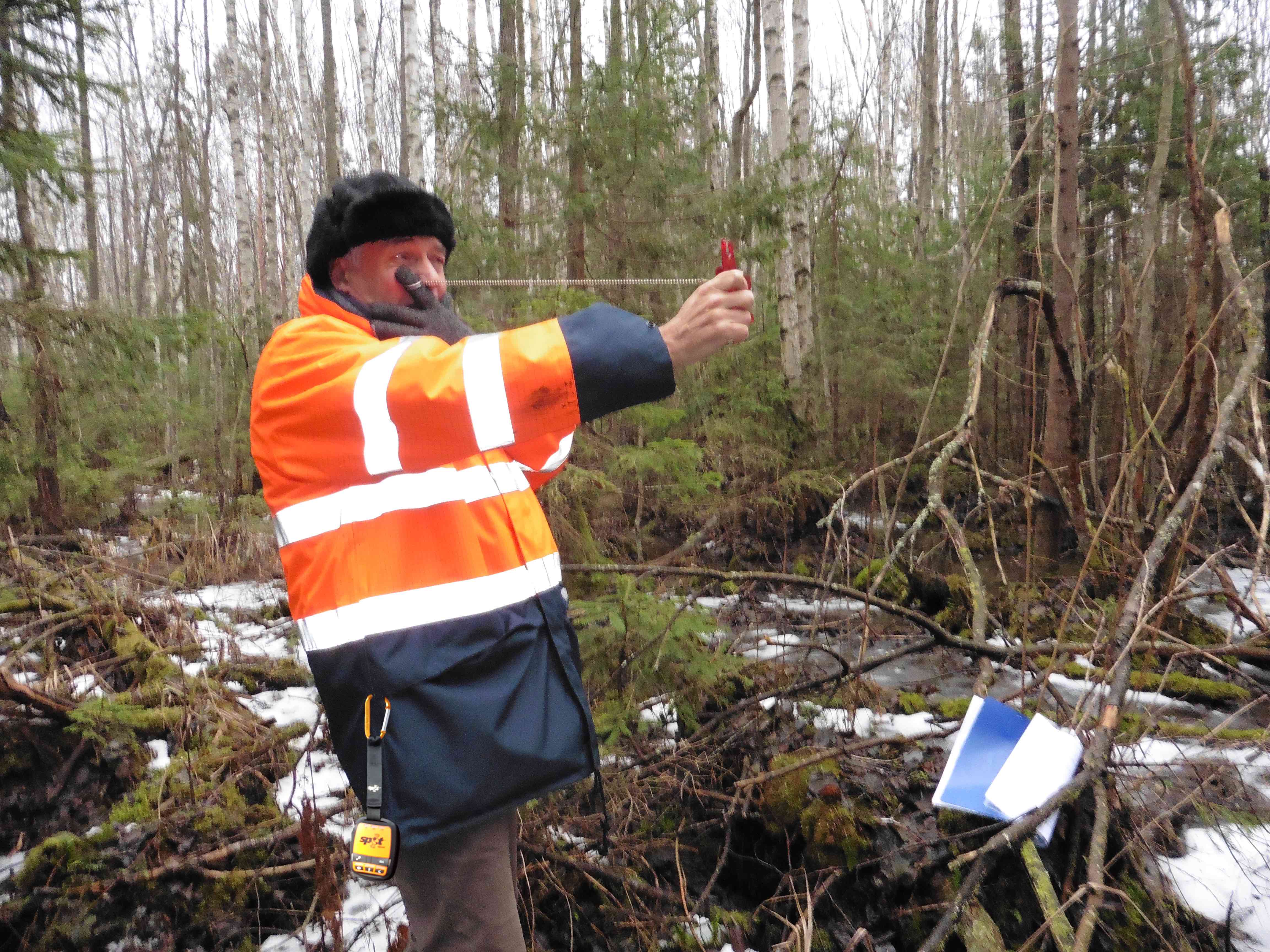
The lone worker’s best friend: Satellites support UK Forestry Staff
Elsewhere, the Forestry Commission in England and Scotland turned to value added reseller Global Telesat Communications when it was looking for a solution to help protect crews when working in remote areas. The Commission chose the SPOT Gen3 because of its small size and ease-of-use as well as its long battery life and affordability. To date, the Forestry Commission has deployed over 700 SPOT units.
“In an emergency situation, particularly if a person is in danger of going into shock, having a device that is quick and easy to use is paramount. We wanted something small enough to fit in a pocket, yet able to provide a lifeline in critical situations,” said a spokesperson for the Forestry Commission. “Many members of our team work in the most remote parts of the UK which are unreachable by radio and mobile phones. With SPOT Gen3, they have a satellite-based device that brings peace of mind.”
“Many members of our team work in the most remote parts of the UK which are unreachable by radio and mobile phones. With SPOT Gen3, they have a satellite-based device that brings peace of mind.” Spokesperson for Forestry Commission
Safeguarding first responders
First responders are among these professional groups who have embraced SPOT. As fire authorities strive to improve operational efficiency, and to better safeguard crew, they are increasingly turning to satellite technology.
Castilla La Mancha is a vast region in central Spain where forest blazes and wildfires are a fact of life. Junta de Castilla La Mancha, the administrative authority whose responsibilities include forest and wildfire management, employ some 2,000 response personnel who are always on standby to help keep forest and wildfire at bay. The administration recognised a need to enhance safety for crews in the extremely dangerous situations they routinely face.
Junta officials talked to wildfire solutions specialist Technosylva, provider of fire behaviour analysis and management software. Joaquin Ramirez Cisneros, Principal Consultant at Technosylva, explains why Globalstar’sSPOT Gen3 was chosen to meet the Junta’s requirements as an integral part of his company’s Wildfire Management System, fiResponse.
“To keep firefighters safe, it is critical to know where exactly they are at all times,” he explains.
“The positions of the crew members need to be known in relation to the engine and equipment resources being used, and it is particularly important to know how far away they are from the heart of the fire. Providing these professional teams with the communications support they need in the extremely dangerous situation of wildfire is an absolute must.”
However, this satellite technology is doing more than helping keep firefighters safe – it is helping them manage fires more effectively.
Juan Bautista Garcia, Wild Fire Co-ordinator at GEACAM (Public Agency of Castilla La Mancha) comments: “Tracking our crews with SPOT fundamentally changes the way we can face operations. Not only is safety dramatically improved, providing situational awareness in real time to all of the organisation, it also helps to improve our response and tactics. The integration of the SPOT Gen3 within fiResponse is helping us to provide a better service accomplishing the highest standards of safety in the most efficient way.”
The authorities also installed SPOT Trace satellite tracking devices on pumps, helicopters and aerial fire apparatus, allowing operations coordinators to know precisely where their resources are, where they need to be, and how much time it will take for them to get there.
VARs show their creative flair
The success of these deployments owes much to the creative engineering from our value added reseller network.
While security is the primary driver for many customers, it becomes evident that satellite solutions offer many additional features that yield a broad range of operational and resource management benefits.
As NGOs, first responders and other providers of essential public services maximise the value of their investments in satellite technology, they also find they are getting better return on investment in key assets.
Listen to the IFSEC Insider podcast!
Each month, the IFSEC Insider (formerly IFSEC Global) Security in Focus podcast brings you conversations with leading figures in the physical security industry. Covering everything from risk management principles and building a security culture, to the key trends ahead in tech and initiatives on diversity and inclusivity, the podcast keeps security professionals up to date with the latest hot topics in the sector.
Available online, and on Spotify, Apple Podcasts and Google Podcasts, tune in for an easy way to remain up to date on the issues affecting your role.
Operational support from space: Satellites provide greater security, safety and cost-efficiencyToday’s satellite technologies are helping organisations enhance security through reliable tracking of assets and people and these systems simultaneously deliver many operational benefits. Gavan Murphy, Director of Marketing EMEA at Globalstar, explores how flexibility, functionality and reliability all come together with satellite based solutions for security.
Gavan Murphy
IFSEC Insider | Security and Fire News and Resources